The Kansas Mesonet is introducing a new Soil Temperature page for the 2018 growing season. Building on our previous Soil Temperature page, it still displays the past week’s average, min and max soil temperatures at both two and four inches. However, it is now updated three times per hour, giving a real-time look at soil temperatures throughout the state. Below are some of the other new features. For more information about how we collect temperatures and how to use them, visit our Soil Temperature Explanation page.
Features:
- Page Tour
- Map
- Station Summary
- Table Tab
- Chart Tab
- Download Tab
- Resources Tab
- About Soil Temperatures
- Contact
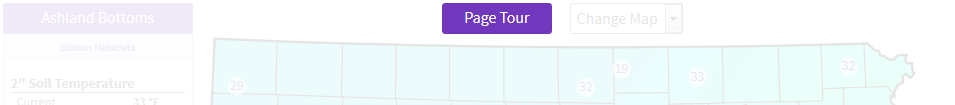
Page Tour
Click the Page Tour button for a quick, interactive overview of the page features.
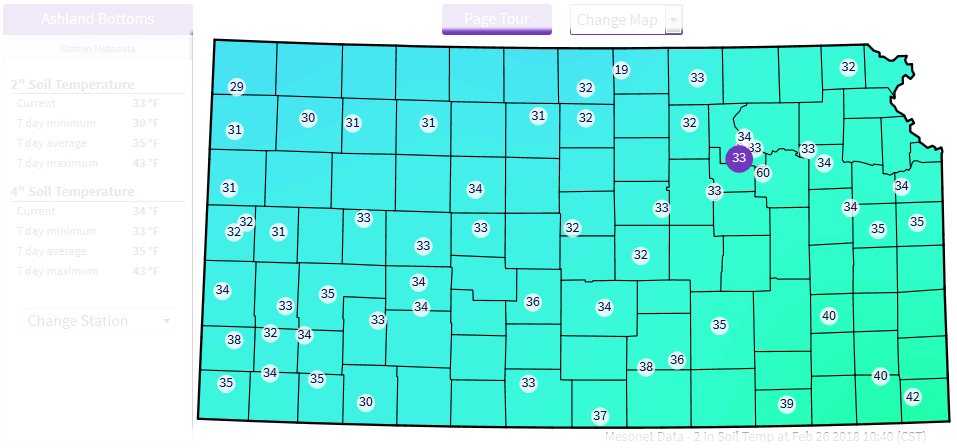
Map
The familiar Mesonet map opens to the current soil temperature at a 2” depth across Kansas. Click any station on the map to set it as your selected station.
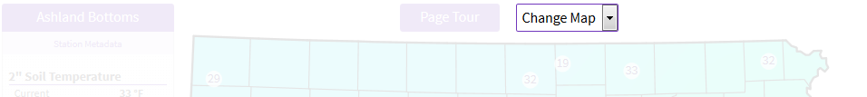
Use the drop-down menu to change the map to any of eight different options. Wish to download an image of the map? Check out the Download tab below.
Station Summary
See at a glance, all measurements for the selected station. The dropdown station selector is another way to change your selected station.
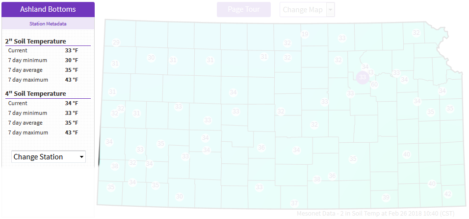
Table Tab
This tab displays a table with information for all stations and all measurements. Sort the table by clicking or tapping on any of the column headers. Clicking a row in the table will set that as your selected station.
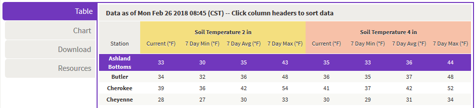
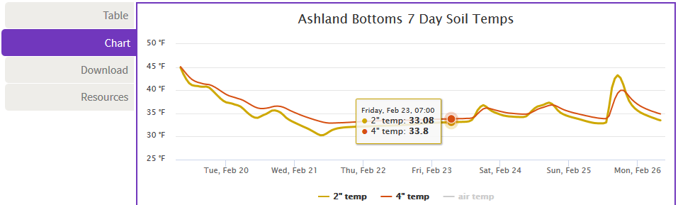
Chart Tab
Want to see what temperatures have done over the past week? The ‘Chart’ tab features an interactive chart with hourly data from the past 7 days.
- Mouse over the chart to see numeric data.
- Click and drag across a region of the chart to zoom in.
- Click the ‘air temp’ legend below the chart to overlay air temperature for the same period.
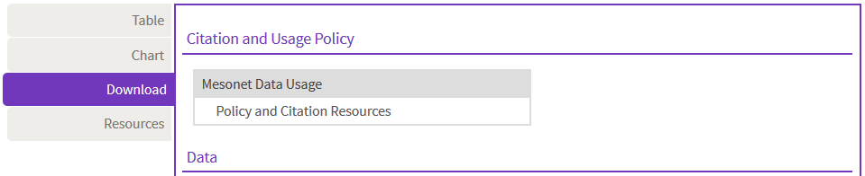
Download Tab
Here it is: all the data and maps used to found on the soil temperature page, all in one place, all in easy-to-download formats. Take a minute to review our Citation and Usage Policy, then help yourself. Data are in CSV format, ready for Excel. Map images are in PNG format for easy download or sharing.
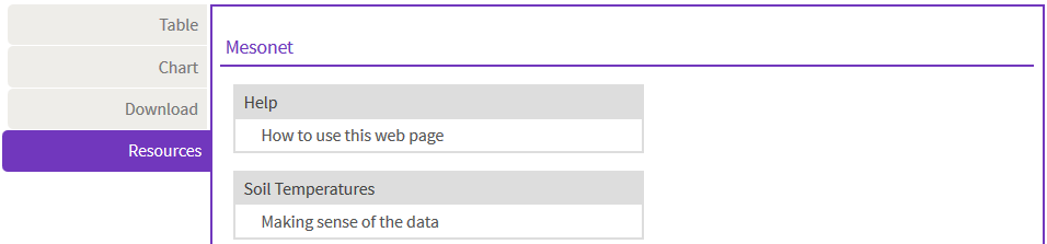
Resources
Consult this tab for helpful soil temperature information. Learn how we collect our soil temperature data and find links to recent publications from K-State Research and Extension.
About Soil Temperatures
For more information about how we collect temperatures and how to use them, visit our Soil Temperature Explanation page.
Contact
Questions? Problems? Please let us know at kansas-wdl@k-state.edu